

 A
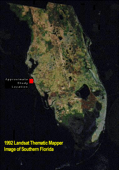
1992 Landsat Thematic Mapper image. An overview of southern Florida
with the approximate location of the study area highlighted.
A
1992 Landsat Thematic Mapper image. An overview of southern Florida
with the approximate location of the study area highlighted.
 National
Ocean Service (NOS) coastal photograph taken in 1993, two years before
the field work.
National
Ocean Service (NOS) coastal photograph taken in 1993, two years before
the field work.
[an error occurred while processing this directive]