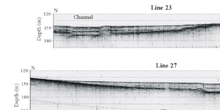
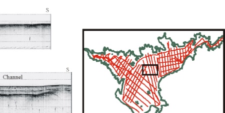
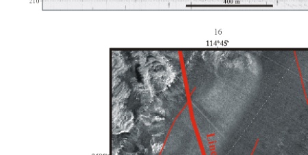
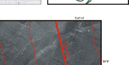
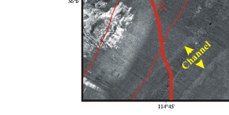
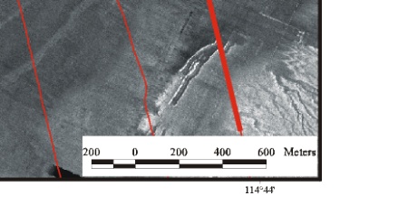
Figure 11.  Central part of Boulder Basin (location in inset map) showing a subtle channel expressed on the lake floor in the sidescan mosaic as well as on two seismic profiles. Profile locations shown on sidescan mosaic. Profiles show that the channel has less than 2-m relief. Note also that sediment filling the basin floor is remarkably flat. The sediment, where it pinches out along the edge of the basin, is less than 5 m shallower than it is in the channel axis.

Figure 1. Location map showing the morphology of the western part of Lake Mead and the surrounding area. Figure 1. Location map showing the morphology of the western part of Lake Mead and the surrounding area.