| Rock Unit | Depth, Feet |
|---|---|
| Surficial Deposits and/or Gubik Formation | 23 |
| Sandstone of the Colville Group and Sagavanirktok Formation | 80 |
| Shale of the Colville Group | 740 |
| Nanushuk Group | 1230 |
| Torok Formation | 3200 |
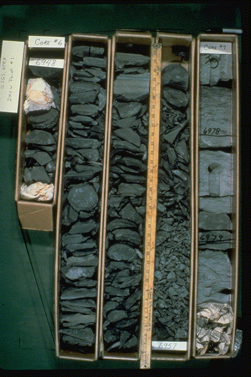
| Pebble Shale Unit | 6700 |
| Kingak Shale | 6900 |
| Sag River Sandstone | 6955 |
| Shublik Formation | 7060 |
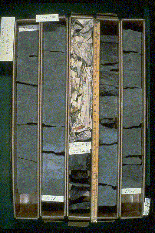
| Ledge Sandstone Member of the Ivishak Formation. Sadlerochit Group | 7570 |
| Basement Complex | 7850 |
Data Source
Table 15.3. - Total depth and depths to selected stratigraphic horizons
for Government-drilled wells on the North Slope of Alaska., in:
Gryc, George, Ed., 1988, Geology and exploration of the National Petroleum
Reserve in Alaska, 1974 to 1982, U.S. Geological Survey Professional
Paper 1399, Pgs. 322 - 324.