
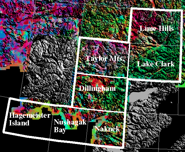
6019, 6020, 6036, & 6037 NURE AIRBORNE INDEX
Note: All reports and maps listed here are available from the U.S. Geological Survey Books and Open File Reports Section. Reports covering detail areas and other special studies are listed in the previous pages.
GJO- and GJBX- reports are the original contractor reports containing aeroradiometric and aeromagnetic profiles. Many of these reports consist of two or more volumes. Map (profile) scales are usually 1:500,000 unless otherwise noted.
Aerial gamma-ray and magnetic survey of the Bethel and Yukon areas, Alaska, by Texas Instruments, Inc., 16 vols., U.S. Energy Research and Development Administration, Grand Junction Office Report GJBX-005(77), 1977.
Aerial radiometric and magnetic reconnaissance survey of the Eagle-Dillingham area, Alaska, by Texas Instruments, Inc., 14 vols., U.S. Department of Energy, Grand Junction Office Report GJBX-113(78), 1978.