 |
| OFR 99–0557: Kansas Digitized Aeromagnetic Projects |

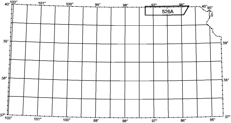
This map shows location plots of digitized aeromagnetic maps. These maps were digitized by the U.S. Geological Survey from 1976 through 1999. Click on the file you are interested in or click here to download entire state.
This report is preliminary and has not been reviewed for conformity with U.S.
Geological Survey editorial standards. Use of brand names is for descriptive
purposes and does not constitute endorsement by the U.S. Geological Survey.
Last modified 2/1/2000.
