Open-File Report 00-321
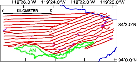
Figure 1. Tracklines for sidescan data collected in the area north of Anacapa Island in 1998 in red. Bottom camera tracklines are in purple. Anacapa Island coastline is in green, 100 m depth contour in blue.

![]() U.S. Department of the Interior |
U.S. Geological Survey
U.S. Department of the Interior |
U.S. Geological Survey
URL:
Page Contact Information:
Page Last Modified:
