Woods Hole Field Center Home Page Coastal and Marine Geology Program Home Page U.S. Geological Survey with link to U.S.G.S. Home Page
USGS Banner


National Assessment of Coastal Vulnerability to Sea-Level Rise: Preliminary Results for the U.S. Gulf of Mexico Coast


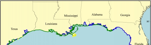
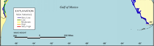
Figure 6. Map of the wave height variable for the U.S. Gulf of Mexico coast. The wave height variable displays a regional trend of high wave heights (>.8 m) to the west and lower wave heights (< .4 m) to the east.


Click on map for larger image

Figure 6. Map of the wave height variable for the U.S. Gulf of Mexico coast.


 Contents  Back to Top  Title Page

 Introduction  Risk
Variables
 Data
Ranking
 C.V.I.  Results  Discussion  Summary  References

[an error occurred while processing this directive]