


 |
 |
U.S. Geological Survey
Open-File Report 00-404
Version 1.0.
This is an online copy of the 2nd Printing, February 2001, this also includes the contents of the three CD-ROMs from that report.
|
|
|
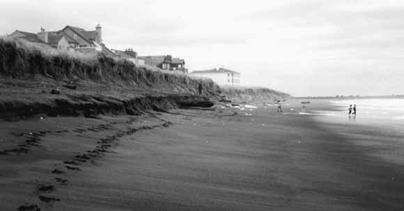
Ocean Shores, Washington is located on the north side of Grays Harbor inlet. This photograph was taken in 1996.
|
The Southwest Washington Coastal Erosion Study (SWCES) is a five-year multidisciplinary investigation of the coastal region between Tillamook Head, Oregon and Point Grenville, Washington cosponsored by the U. S. Geological Survey and the Washington State Department of Ecology. The Grays Harbor Wave Refraction Experiment was a series of measurements made near the entrance to Grays Harbor between October and December, 1999. The objectives of the measurements are (1) to calibrate and verify numerical models of wave transformation (primarily refraction and shoaling), and (2) to provide information about bottom sediment size, waves, currents, and suspended-sediment concentrations for use in calculations of sediment transport. This report describes data obtained during that experiment. Six tripods were deployed near the entrance to Grays Harbor, Washington. These tripods contained pressure sensors, acoustic doppler profilers, acoustic doppler velocimeters, and optical backscatter sensors to measure waves, tides, currents, and suspended-sediments. Data were recovered from all instruments except one damaged at the northern shallow site during the first deployment (Site NS). Several observations should be noted with any interpretation of these raw data. 1) The tripod at Site SS was apparently picked up and placed back on the bottom by unknown parties between 1618 and 1842 GMT on October 18, 1999 (during the first deployment). There was no apparent damage to the tripod, but it may have been moved slightly, and new coordinates were not determined during recovery. 2) The pressure sensor data associated with the acoustic doppler profiler at Site SD are suspiciously erratic at the beginning of Deployment 1, suggesting that the sensor port may have been partially blocked. The data appear correct beginning at 1622:30 October 8 (profile 284). 3) Wave directions (not presented in this report) estimated from Site MD during the second deployment differ by about 16¡ from the expected direction, suggesting the possibility of compass error or miscalibration. 4) The measured distance between the acoustic doppler velocimeter (ADV) sensor and the sea floor changed (and generally decreased) at all 5 ADV sites during each deployment, suggesting that the tripod was either being worked into the bed (more likely) or that net deposition of sediment occurred (less likely). Estimates of sensor elevation are particularly important for interpretation of current and suspended-sediment data from the ADV and associated optical backscatter sensor (OBS). Data and conclusions provided in this open-file report are preliminary and may contain errors that remained undetected in routine quality-control checks. Future analysis may modify some values. Therefore, these data are provided to and accepted by the user with any accompanying faults and defects. Any person or entity that relies upon information generated by or obtained herein does so at their own risk. |
Download this report as a PDF document (20.9 MB)
Go to the folder containing files in CD02 used to make this publication. (25 items that total 430 MB. Open file index.htm for help navigating through the contents of this folder.)
Go to the folder containing files in CD03 used to make this publication. (28 items that total 637 MB. Open file index.htm for help navigating through the contents of this folder.)
For questions about the content of this report, contact Guy Gelfenbaum
|
Help |
PDF help |
Publications main page |
Western
Region Open-File Reports for 2000 |