Skip Links

USGS - science for a changing world

Open-File Report 01-321

Chromite Deposits in Central Part Stillwater Complex, Sweet Grass County, Montana: A Digital Database for the Geologic Map of the East Slope of Iron Mountain

By A.L. Howland, Lorre A. Moyer

Thumbnail of and link to report PDF (660 kB)Summary

In 1940, A.L. Howland and J. W. Peoples, assisted by W.R. Jones and M.G. Bennett, mapped the geology of the east slope of Iron Mountain, Montana. The map was revised and extended by Howland in 1942 and published in 1955 as plate 10 of the U.S. Geological Survey Bulletin 1015-D (Howland, 1955). In 2000, the USGS contracted Optronics Specialty Co., Inc. of Northridge, CA to prepare a scanned digital version of plate 10. Geospatial editing and attributing of the scanned map of the east slope of Iron Mountain was performed by the USGS in order to produce an interim digital product. This digital geospatial database is one of many being created by the U.S. Geological Survey as an ongoing effort to provide geologic information in a geographic information system (GIS) for use in spatial analysis.

First posted June 11, 2001

  • Map HPGL2 (996 kB)
    Map scale: 1:3077. Page size: 33 inches by 30 inches. Map in HPGL2 format
  • Map EPS (7.4 MB)
    Map scale: 1:3077. Page size: 33 inches by 30 inches. Map in EPS format

For additional information, contact:
Geology, Minerals, Energy, and Geophysics Science Center
U.S. Geological Survey
345 Middlefield Road, MS 901
Menlo Park, CA 94025-3591
http://geomaps.wr.usgs.gov/gmeg/

Part or all of this report is presented in Portable Document Format (PDF). For best results viewing and printing PDF documents, it is recommended that you download the documents to your computer and open them with Adobe Reader. PDF documents opened from your browser may not display or print as intended. Download the latest version of Adobe Reader, free of charge.


Suggested citation:

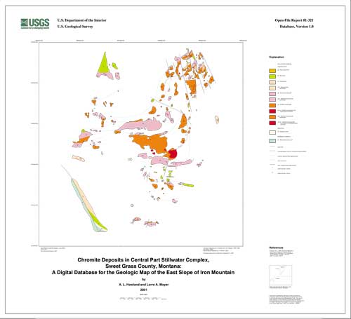
Howland, A. L., Moyer, Lorre A., 2001, Chromite Deposits in Central Part Stillwater Complex, Sweet Grass County, Montana: A Digital Database for the Geologic Map of the East Slope of Iron Mountain: U.S. Geological Survey Open-File Report 01-321, 26 pp., https://pubs.usgs.gov/of/2001/0321/.


Contents

Introduction

List of Map Units

Data Sources, Processing, and Accuracy

GIS Documentation

References


Accessibility FOIA Privacy Policies and Notices

Take Pride in America logo USA.gov logo U.S. Department of the Interior | U.S. Geological Survey
URL: http://pubsdata.usgs.gov/pubs/of/2001/0321/index.html
Page Contact Information: GS Pubs Web Contact
Page Last Modified: Wednesday, 07-Dec-2016 18:57:55 EST