
|
|
publications > open file report > historical aerial photography for the greater everglades of south florida: the 1940, 1:40,000 photoset > image directory > section 28
Open-File Report 02-327 - Historical Aerial Photography for the Greater Everglades of South Florida: The 1940, 1:40,000 Photoset
Aerial
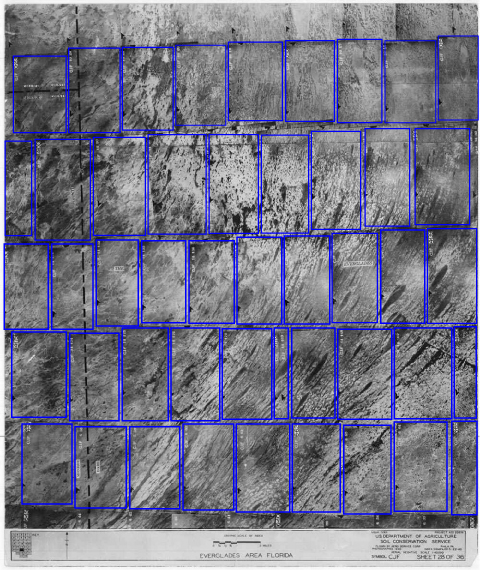
Photo Section 28
|
| Disclaimer | Privacy Statement | Accessibility |
U.S. Department of the Interior, U.S. Geological Survey
This page is: http://sofia.usgs.gov/publications/ofr/02-327/htm/aerials/fl28.htm
Comments and suggestions? Contact: Heather Henkel - Webmaster
Last updated: 06 May, 2014 @ 01:15 PM(HSH)