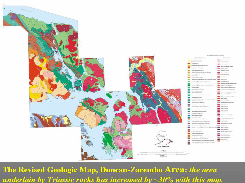
This is the revised geologic map of Duncan Canal-Zarembo Island area, by Karl, Haeussler, and McCafferty. This map has far more detail than the original reconnaissance geologic map because it had heavy geophysical input. A side-benefit of the effort was to increase the area underlain by Triassic rocks by over 30% -- these are the rocks known to host Greens Creek-type VMS deposits.