U. S. Geological Survey Open-File Report 01-154
|
|
U. S. Geological Survey Open-File Report 01-154 |
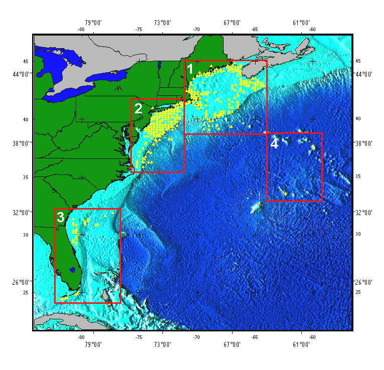
Index map showing bottom photograph distribution and locations |
|
|
|
To select an area for closer viewing, please click within the selected map area. From the detailed map, you may view the bottom photo for any location by selecting the desired location with your cursor.
|