Coastal & Marine Geology Program
>
Subsidence and Fault Activation . . .
>
Open File Report 01-274
Return to:
Introduction
|
Sediment-Surface Profiles
Fig. 1.
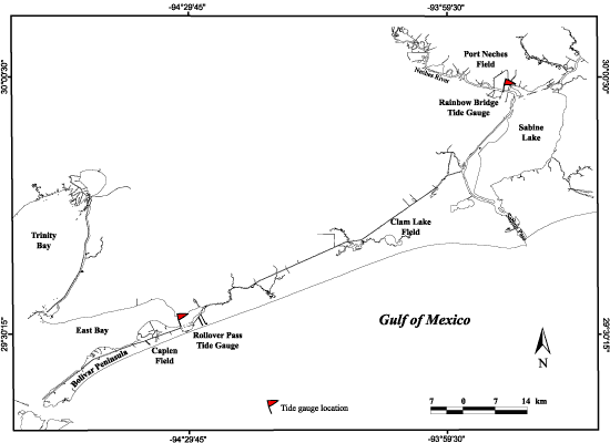
Map of the southeast Texas coast showing locations of oil and gas fields and tide gauges included in this study.
Return to:
Introduction
|
Sediment-Surface Profiles
Coastal & Marine Geology Program
>
Subsidence and Fault Activation . . .
>
Open File Report 01-274
[an error occurred while processing this directive]