U. S. Geological Survey

 A Comparative Analysis of Hazard Models for Predicting Debris Flows in Madison County, Virginia


By


Meghan M. Morrissey, Gerald F. Wieczorek, and Benjamin A. Morgan
Open-File Report 01-0067

2001

2X image


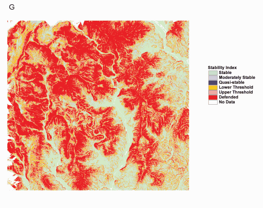
Figure 4G. Stability index maps showing the six classes of stability from SINMAP calculations for four different dimensionless cohesions listed in Table 2.  (B, D, F, H) Plots showing the relationship between catchment area and slope calculated at each grid point (cross) and inventoried landslide (box).  Lines denote the six SI classes shown in the associated SI map.