|
|
|
||||
| Open-File Report 01–104: Spatial Data Directory (Online Version with Downloadable Data) |
|
coal_pt
|
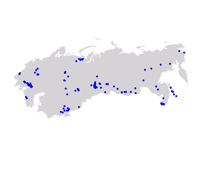
Description:
Coal sample points. This shapefile is joined in the ArcView project with coal quality data (general.dbf, std_char.dbf, mineral.dbf, and elemcomp.dbf) linked to washability data (washdata.dbf) compiled by USGS from data supplied by Vernadsky State Geological Museum. Data formats: (Download data)
View FAQ metadata |
|
coal_dep
|
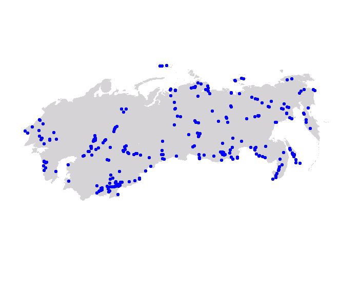
Description:
Coal deposit data points. This shapefile is joined in the ArcView project with coal mark (mark.dbf), age, and deposit name (dep.dbf) data modified by the USGS from the Survey Map of Coal Basins and Deposits of the U.S.S.R. by Tyzhnov and Molchanov (1976). Data formats: (Download data)
|
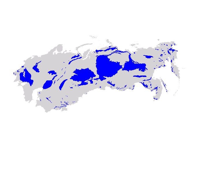 |
Description:
Coal basins of the Former Soviet Union. This shapefile (coal resources theme) is joined in the ArcView project with coal mark (mark.dbf, age, deposit name (dep.dbf), territory name (terr.dbf), and coal resource data (coal_res.dbf) from the Survey Map of Coal Basins and Deposits of the U.S.S.R. by Tyzhnov and Molchanov (1976). Data formats: (Download data)
View FAQ metadata |
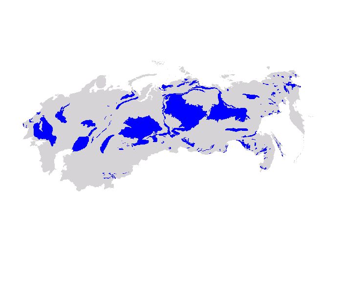 |
Description:
Coal-bearing basins and areas of the Former Soviet Union. This shapefile is joined in the ArcView project with age, and territory name (terr.dbf) from the Survey Map of Coal Basins and Deposits of the U.S.S.R. by Tyzhnov and Molchanov (1976). Data formats: (Download data)
View FAQ metadata |
 |
Description:
Coal deposits of the Former Soviet Union. This shapefile is joined in the ArcView project with age, and deposit name (dep.dbf) data modified by the USGS from the Survey Map of Coal Basins and Deposits of the U.S.S.R. by Tyzhnov and Molchanov (1976). Data formats: (Download data)
View FAQ metadata |
 |
Description:
Boundaries of coal-bearing territories and basins of the Former Soviet Union. This shapefile is digitized from the Survey Map of Coal Basins and Deposits of the U.S.S.R. by Tyzhnov and Molchanov (1976). Data formats: (Download data)
View FAQ metadata |
 |
Description:
Generalized surface geology of the Former Soviet Union from Persits, Ulmishek, and Steinshouer (1998). Data formats: (Download data)
View FAQ metadata |
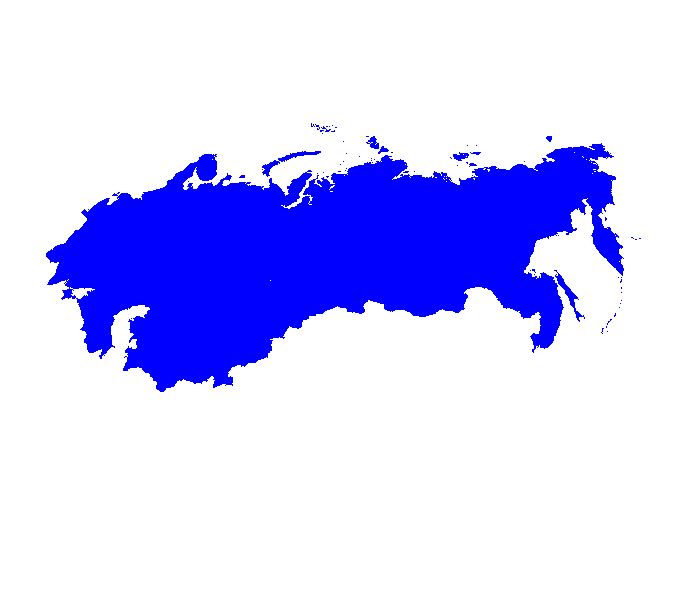 |
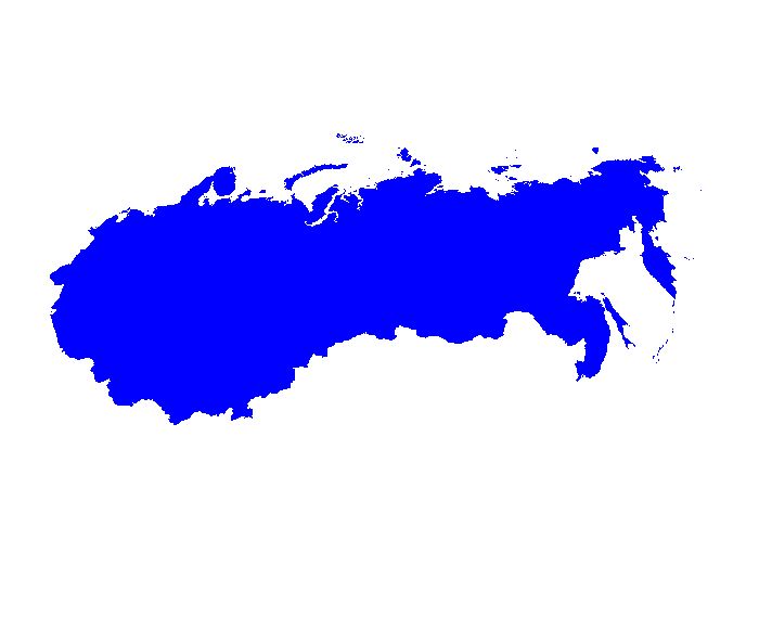
Description:
Generalized political boundaries of the countries comprising the Former Soviet Union Data formats: (Download data)
View FAQ metadata |
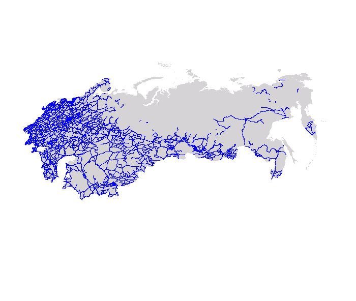 |
Description:
Roads of the Former Soviet Union Data formats: (Download data)
View FAQ metadata |
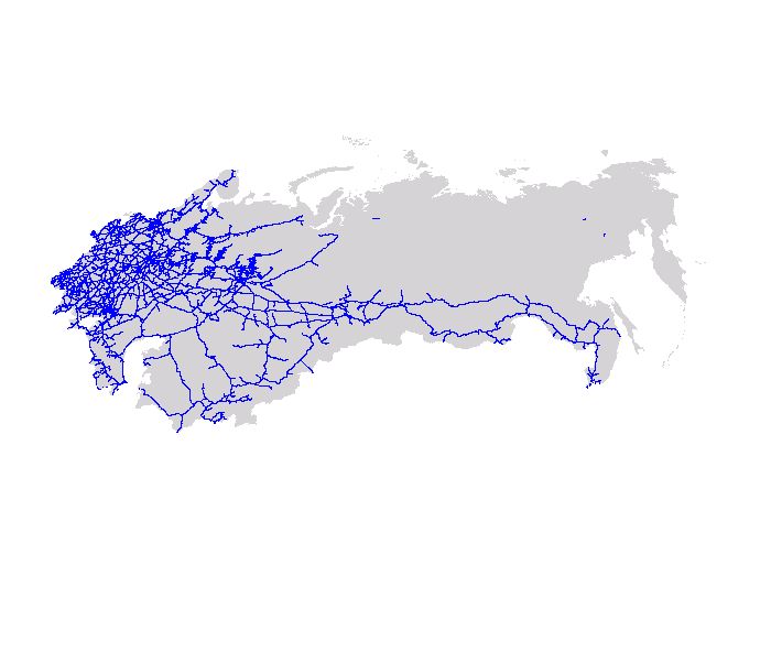 |
Description:
Railroads of the Former Soviet Union Data formats: (Download data)
View FAQ metadata |
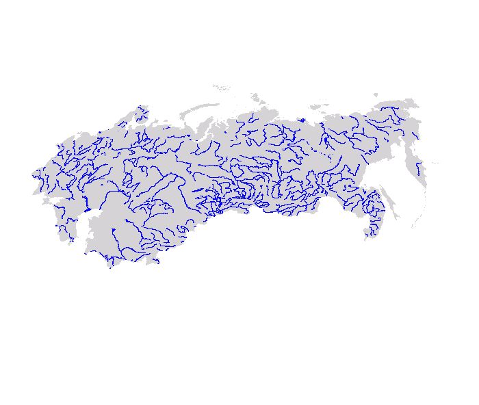 |
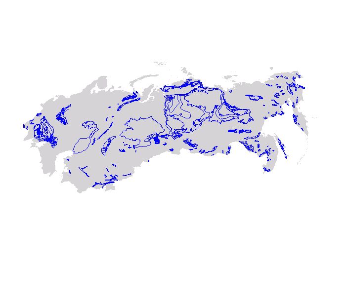
Description:
Rivers of the Former Soviet Union Data formats: (Download data)
View FAQ metadata |
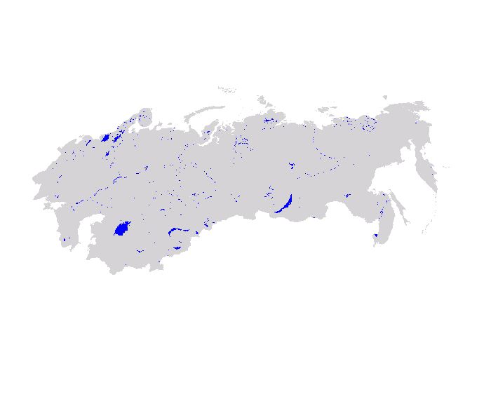 |
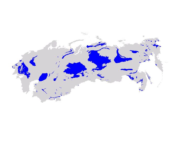
Description:
Lakes of the Former Soviet Union Data formats: (Download data)
View FAQ metadata |
| AccessibilityFOIAPrivacyPolicies and Notices | |
 |
|