Georgia Water Science Center
![]() This report is available online in pdf format (1 MB): USGS OFR 01-296 (
This report is available online in pdf format (1 MB): USGS OFR 01-296 (![]() )
)
Timothy C. Stamey
U.S. Geological Survey Open-File Report 01-296, 5 pages (Published 2001)
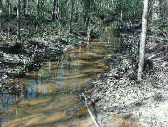 In 1999, the U.S. Geological Survey, in cooperation with the U.S. Army Signal Center and Fort Gordon, began collection of periodic streamflow data at four streams on the military base to assess and estimate streamflow characteristics of those streams for potential water-supply sources.
Simple and reliable methods of determining streamflow characteristics of selected streams on the military base are needed for the initial implementation of the Fort Gordon Integrated Natural Resources Management Plan. Long-term streamflow data from the Butler Creek streamflow gaging station were used along with several concurrent discharge measurements made at three selected partial-record streamflow stations on Fort Gordon to determine selected low-flow streamflow characteristics. Streamflow data were collected and analyzed using standard U.S. Geological Survey methods and computer application programs to verify the use of simple drainage area to discharge ratios, which were used to estimate the low-flow characteristics for the selected streams. Low-flow data computed based on daily mean streamflow include: mean discharges for consecutive 1-, 3-, 7-, 14-, and 30-day period and low-flow estimates of 7Q10, 30Q2, 60Q2, and 90Q2 recurrence intervals. Flow-duration data also were determined for the 10-, 30-, 50-, 70-, and 90-percent exceedence flows.
Preliminary analyses of the streamflow indicate that the flow duration and selected low-flow statistics for the selected streams averages from about 0.15 to 2.27 cubic feet per square mile. The long-term gaged streamflow data indicate that the streamflow conditions for the period analyzed were in the 50- to 90-percent flow range, or in which streamflow would be exceeded about 50 to 90 percent of the time.
Abstract
Introduction
Purpose and scope
Description of the study area
Method of study
Gaged sites
Partial-record sites
Low-flow characteristics
Summary
References cited
![]() This report is available online in pdf format (1 MB): USGS OFR 01-296 (
This report is available online in pdf format (1 MB): USGS OFR 01-296 (![]() )
)
To view the PDF document, you need the Adobe Acrobat® Reader installed on your computer. (A free copy of the Acrobat® Reader may be downloaded from Adobe Systems Incorporated.)
Recent USGS publications on Georgia or Georgia Water-Resources Information
For more information, please contact webmaster-ga@usgs.gov.

![]() U.S. Department of the Interior |
U.S. Geological Survey
U.S. Department of the Interior |
U.S. Geological Survey
URL: https://pubsdata.usgs.gov/pubs/of/2001/ofr01-296/index.html
Page Contact Information: Publications Team
Page Last Modified: Wednesday, 07-Dec-2016 18:51:38 EST