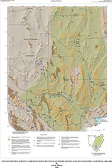
Potentiometric Surface, Carbonate-Rock Province, Southern Nevada and Southeastern California, 1998-2000
Plate 1. Contoured water levels in consolidated rocks of the carbonate-rock province

|
|
|
Potentiometric Surface, Carbonate-Rock Province, Southern Nevada and Southeastern California, 1998-2000 |
|
|
|
Plate 1. Contoured water levels in consolidated rocks of the carbonate-rock province |
 |
| Note: Plate 1, which measures 22 inches by 32 inches, is available for viewing only as a high-resolution PDF file. The file size is about 12 MB. You need the Adobe Acrobat Reader installed on your computer to view this document. (Download free copy of Adobe Acrobat Reader.) |