Open–File Report 2002–204
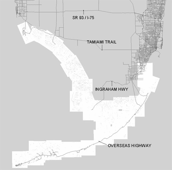
Areas in white represents spatial extent of mosaicked maps. Major roads are labeled in the view for display purposes. A compressed file (67 MB) containing the full mosaic is available.
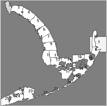
Below is a view of the cropped map boundaries before the mosaic process.

![]() U.S. Department of the Interior |
U.S. Geological Survey
U.S. Department of the Interior |
U.S. Geological Survey
URL: http://pubsdata.usgs.gov/pubs/of/2002/0204/html/mosaic.html
Page Contact Information: GS Pubs Web Contact
Page Last Modified: Wednesday, 18-May-2022 16:05:17 EDT
