Open-File Report 03-120
|
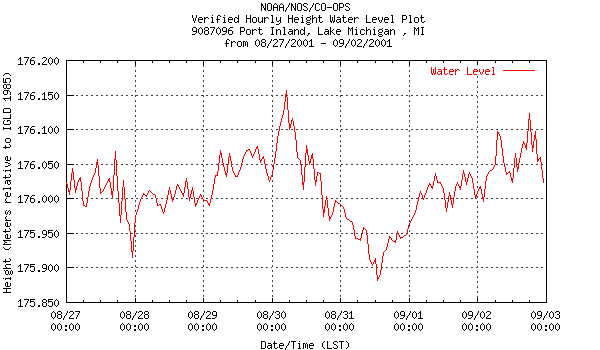
Figure 1.2 - Hourly lake level from Port Inland, Lake Michigan, MI for duration of lidar survey. |

![]() U.S. Department of the Interior |
U.S. Geological Survey
U.S. Department of the Interior |
U.S. Geological Survey
URL: http://pubsdata.usgs.gov/pubs/of/2003/0120/lakelevel.html
Page Contact Information: GS Pubs Web Contact
Page Last Modified: Wednesday, 02-Apr-2014 15:58:53 EDT
