Top of page
 |
 |
 |
 |
 |
 |
 |

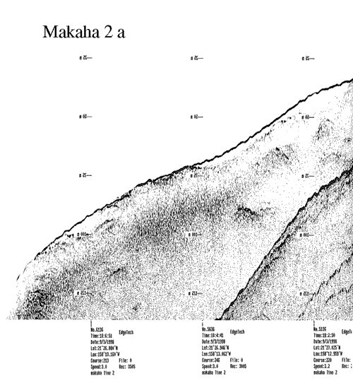
Home > data > subbottom profiles > Leeward > Makaha > line 2a
See also:
Leeward coast trackline map
Makaha line 2 metadata
View full-scale image (84 kb)

| Top of page
|
http://geopubs.wr.usgs.gov/open-file/of03-441/data/profiles/makaha/line2asm.html
For more information, please contact: Monty Hampton
Pages created and maintained by Laura Zink Torresan
last modified 15 December 2003 (cad)
USGS Privacy Statement | Disclaimer | Feedback | Accessibility
Department of the Interior U.S. Geological Survey Geologic Division
Coastal & Marine Geology Program Western Region Coastal & Marine Geology Team