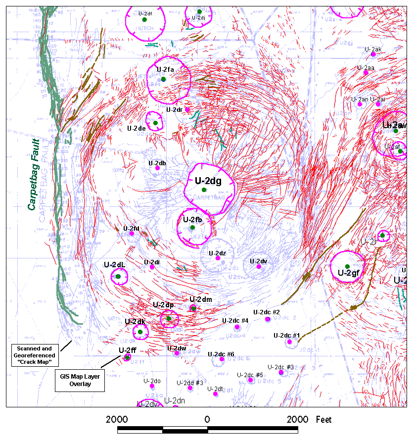
Site U-2dg: GIS Work in Progress |
| Explanation: Work in progress on the surface
effects of U-2dg and adjacent detonation sites. The completed GIS surface effects are
displayed as color-coded elements over the "blue-line" reference copy of the
1:12,000-scale, composite "crack map" of Yucca Flat. The
completed GIS surface effects are more accurately positioned because they were prepared from
the original mylar maps for these sites. View the completed site |
|
|