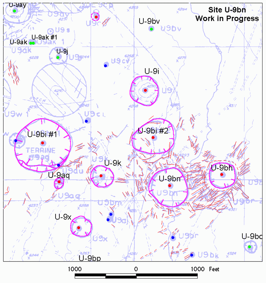
| Explanation: This map shows digitizing work
in progress on the surface effects maps of U-9bn and adjacent sites. Completed
digital surface effects are shown in color over a scanned and georeferenced
composite surface effects map (heavy
light-blue lines) for this part of Yucca Flat. The digital surface effects
are more accurate, and hence slightly offset of those shown on the
composite map, because the digital surface effects were produced
from the original site maps. The composite map shown here was used during
the digitizing process for reference and comparison purposes. Digital
collapse sinks and cracks are shown in magenta and red. Colored dots are
detonation sites.
|