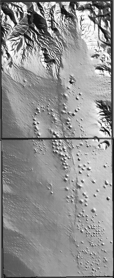
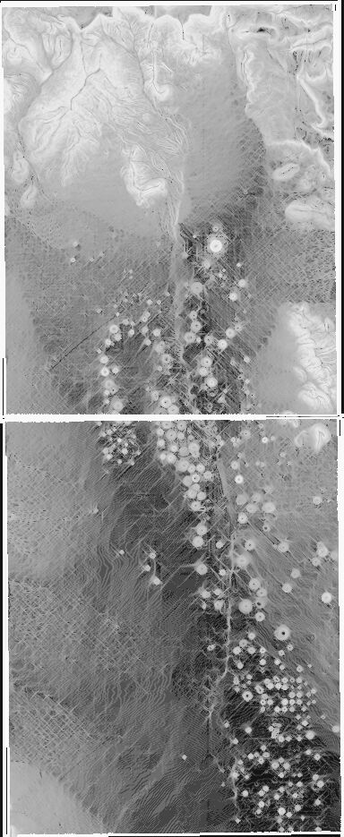
Shaded Relief and Slope Model, Yucca Flat Testing Area |
|
| Explanation: The Yucca Flat testing area is shown in these two, 1:24,000-scale mosaic maps--Oak Spring quad (top) and Yucca Flat quad (bottom). Such surface effects as collapse sinks, craters, and faults are revealed. The north-south trending Yucca Fault is clearly visible on the shaded relief map. Collapse sinks and craters are plainly delineated as circular gray to white features on the slope model. The horizontal line (both maps) is caused by missing data at the junction of the quads. | |
Shaded Relief |
Slope Model |
 |
 |