|
|
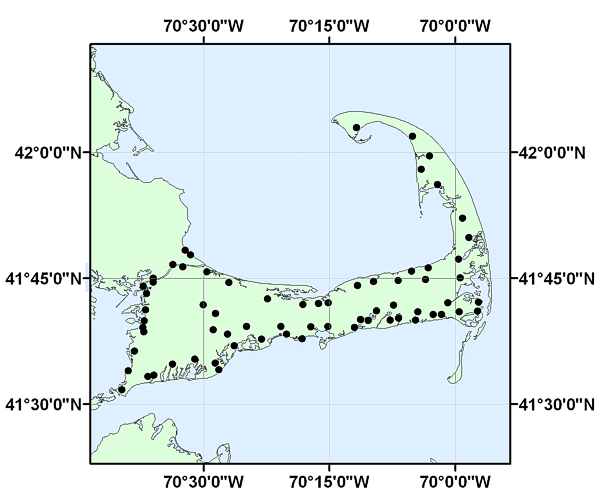
VILLAGES_GEO: Approximate location and names of villages on Cape Cod, MA |
Metadata also available as: FAQ | TEXT
Any use of trade, product, or firm names is for descriptive purposes only and does not imply endorsement by the U.S. Government.
Any use of trade, product, or firm names is for descriptive purposes only and does not imply endorsement by the U.S. Government.