 |
|
|
Home | Read-Me | Navigation | Profiles | Logs | Metadata | Software | Disclaimer | Acronyms
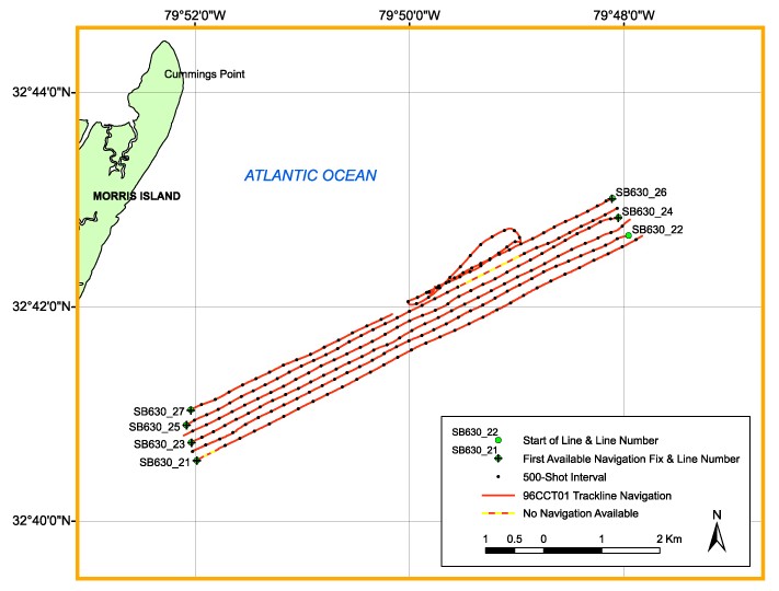
Click on a trackline name to view the seismic profile for that line.
NOTE: Navigation is incomplete for several lines and is often missing at the start of lines. Please refer to the navigation files for more detail. In addition to the places shown below, navigation is not available for the end of line SC630_27.

Full Survey Area | Area A | Area B | Area C | Area D
Home | Read-Me | Navigation | Profiles | Logs | Metadata | Software | Disclaimer | Acronyms