U.S. Geological Survey
Open File Report 03-243
On-line only
Version 1.0
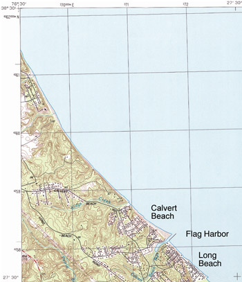
Figure 6b. USGS topomap of the Flag Harbor area
(USGS 7.5' Cove Point Quadrangle), 1989. Note sand bodies on the north side of jetties
and erosion on the south side.
Find here a higher resolution image of figure 6b with
overlaid 1848, 1942 and 1993 shorelines (courtesy of Maryland Geological Survey).