Data Report of Aftershocks of the 03 November 2002, Mw 7.9, Denali Fault Earthquake Recorded Near the Fault Rupture at the Richardson Highway and Alyeska Pipeline
By David Carver, Timothy Plucinski, Arthur Frankel andErdal
Safak
U.S. Geological Survey Open-File Report 03-158
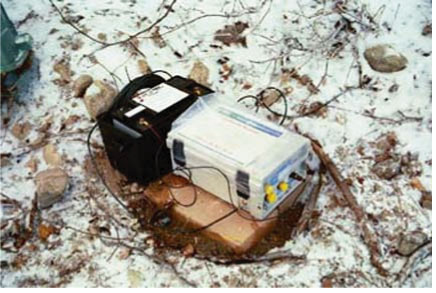
An example of an accelerograph (at Station MILL) that was installed on a pre-cast
concrete paver that was leveled on wet sand in a shallow hole. After sand was
banked around the sides and the hole was filled, more water was poured on the
sand to insure that the paver was frozen solidly in place.