|
|
|
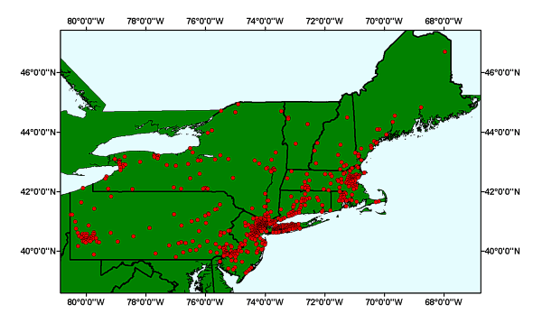
CITIES: location of U.S. Cities within the Long Island Sound GIS project area. |
Metadata also available as: FAQ | TEXT
This is a subset of the original dataset. It has been clipped to the extent of the Long Island Sound GIS project extent.
Outside the United States, please direct all inquiries to your local ESRI International Distributor. This information can be found at <http://gis.esri.com/intldist/contactint.cfm>.