
Coastal Vulnerability Assessment of Cape Hatteras National Seashore to Sea-Level Rise, USGS Open-File Report 2004-1064
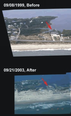
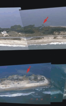
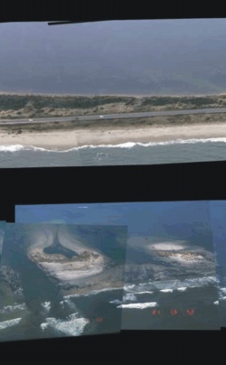
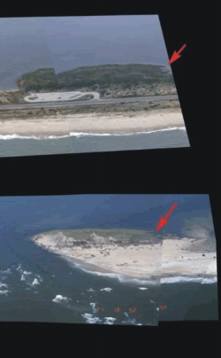
Figure 11. Photo from Hurricane Isabel impact study (USGS, 2003) showing the location of inlet formation between Frisco and Hatteras Village (http://coastal.er.usgs.gov/hurricanes/Isabel/). The inlet was 600 meters wide with 3 distinct channels. | |||
 |
 |
 |
 |
