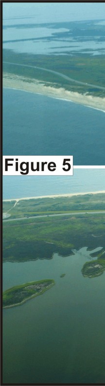
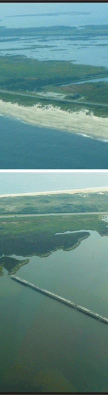
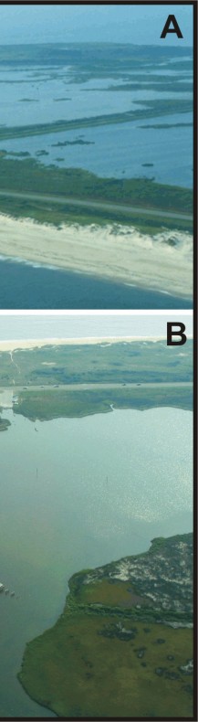
Figure 5. A) Vast wildlife habitat especially for shorebirds on the landward side of Pea Island NWR. B) The bridge that was constructed in the 1940's to bypass a breach that occurred across Pea Island during a hurricane.