Skip past header information USGS Logo with link to USGS web page
Coastal Vulnerability Assessment of Cape Hatteras National Seashore to Sea-Level Rise, USGS Open-File Report 2004-1064


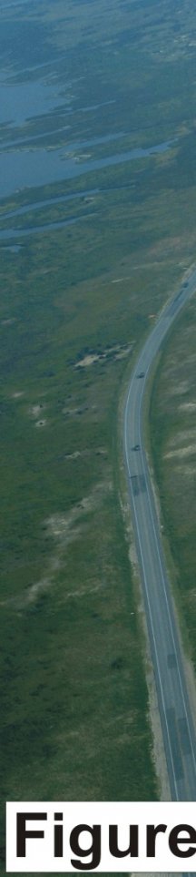
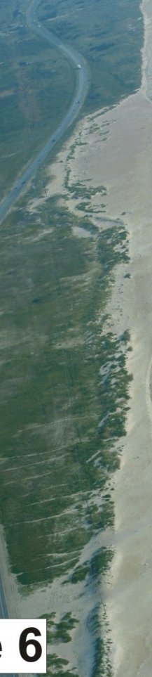
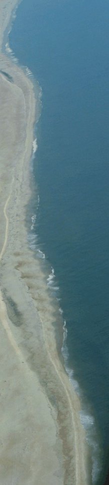
Figure 6. Area just north of Rodanthe known as the S-curves. Road relocations caused by erosion hotspots have result in such turns in the road (very high vulnerability).


Figure 6.  Area just north of Rodanthe known as the S-curves. Figure 6.  Area just north of Rodanthe known as the S-curves. Figure 6.  Area just north of Rodanthe known as the S-curves.

Skip Footer Information [an error occurred while processing this directive]