Coastal Vulnerability Assessment of Cape Hatteras National Seashore to Sea-Level Rise,
USGS
Open-File Report 2004-1064
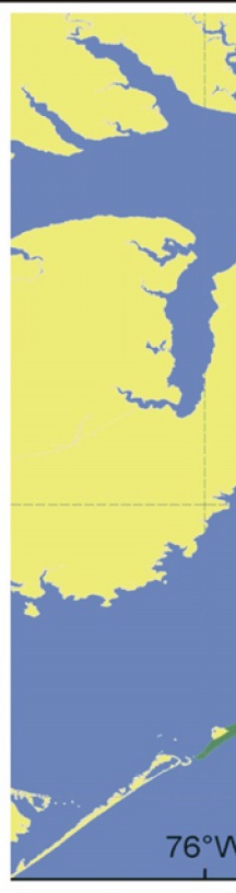
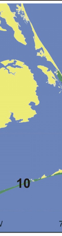
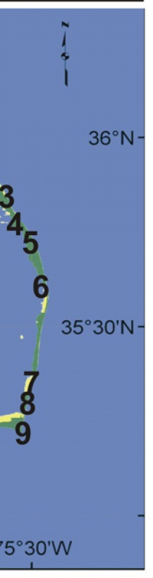
Figures 3-10. The numbers on the inset location map correspond to the Figure numbers.
[an error occurred while processing this directive]