
Coastal Vulnerability Assessment of Padre Island National Seashore to
Sea-Level Rise, USGS Open-File Report 2004-1090.
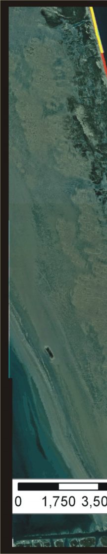
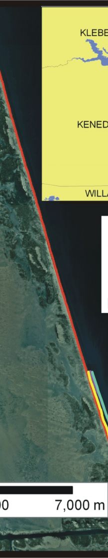
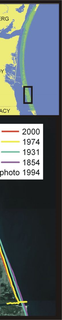
Figure 7. Location of the 14 km segment of shoreline in Kenedy County where there were not enough historic shorelines to calculate a rate of shoreline change. | ||
 |
 |
 |
