Skip past header information USGS Logo with link to USGS Web page
Coastal Vulnerability Assessment of Cumberland Island National Seashore to
Sea-Level Rise, USGS Open-File Report 2004-1196
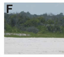
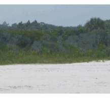
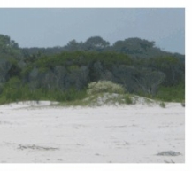


Figure 3F. These are low elevation overwash areas where the foredune ridge is low or absent.


Figure 3F. Low elevation overwash areas where the foredune ridge is low or absent. Figure 3F. Low elevation overwash areas where the foredune ridge is low or absent. Figure 3F. Low elevation overwash areas where the foredune ridge is low or absent.

Skip Footer Information [an error occurred while processing this directive]