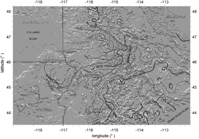
| We mapped perimeters and reconstructed equilibrium line altitudes (ELAs) for small late Pleistocene alpine glaciers in the interior northwestern United States east of the Coast and Cascades Ranges and south of the continental glacial limit (fig. 1 and 2). This region has a high density and continuity of glaciated mountains, especially in central Idaho. Last-glacial moraines (i.e., those usually attributed to the “Pinedale glaciation” of the Rocky Mountains, e.g., Porter and others, 1983) are commonly well displayed in the field and on topographic maps. |