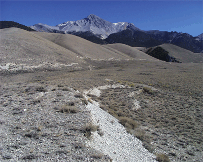
| Following U.S. Highway 93 from Arco to Challis, Idaho, this trip focuses on the character of the historical rupture and the paleoseismic evidence for prehistoric events along this famous normal-fault system. Several stops are along the 34-km-long spectacular surface ruptures from the 1983 (M 7.3) Borah Peak earthquake. Stops north and south of the surface rupture explain the chronology of prehistoric earthquakes along the 140-km-long fault. |