
Coastal Vulnerability Assessment of Gateway National Recreation Area to Sea-Level Rise
USGS Open-File Report 2004-1257
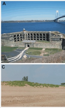
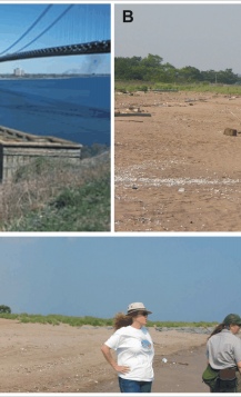
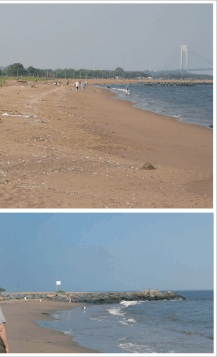
Figure 5. Photos of the different geomorphology types within the Staten Island Unit of Gateway NRA. A) A view of Fort Wadsworth and the narrows from the terminal moraine (moderate vulnerability) (NPS photo). B) The shoreline at Miller Field is composed of outwash material (high vulnerability). C) Great Kills Park is built on artificial fill (very high vulnerability. | ||
 |
 |
 |
