
Coastal Vulnerability Assessment of Gateway National Recreation Area to Sea-Level Rise
USGS Open-File Report 2004-1257
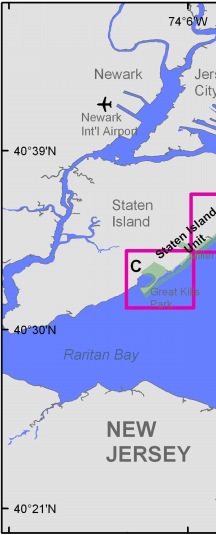
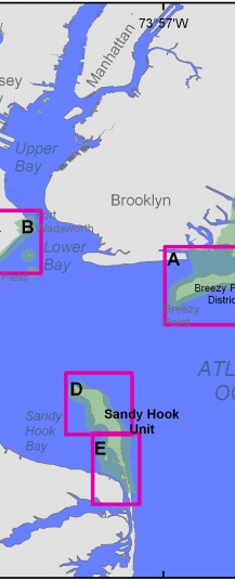
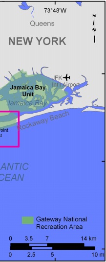
Figure 6. Historic shoreline position index map for A) Breezy Point District from Jacob Riis Park to Breezy Point Jetty, B) Staten Island Unit from Ft. Wadsworth to Miller Field, C) Staten Island Unit from Miller Field to Great Kill Park, D) Northern Sandy Hook Unit, and E) Southern Sandy Hook Unit. Click on box for larger image. Click on area for larger image. | ||
 |
 |
 |
