
Relative Coastal Change-Potential Assessment of Kenai Fjords National Park
USGS Open-File Report 2004-1373
|
Relative Coastal Change-Potential Assessment of Kenai Fjords National Park USGS Open-File Report 2004-1373 |
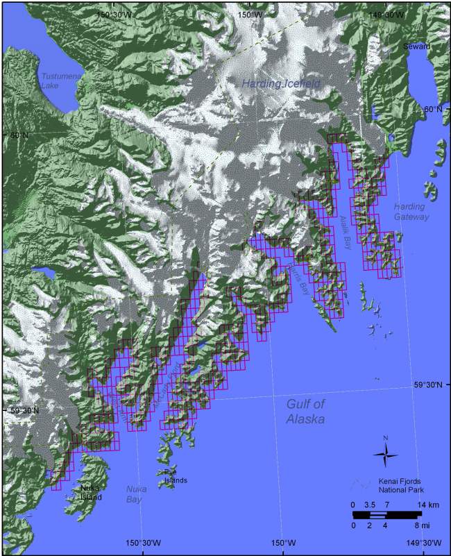
Figure 5. Shoreline grid for Kenai Fjords National Park. Each cell is approximately 1-minute of shoreline and represents a shoreline segment for which each of the six variables are defined. | ||
 |
||
