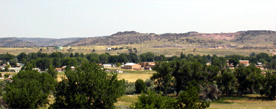
A gravity survey was conducted in and around an inactive landfill
located immediately north of the town of Guernsey, Wyoming. The purpose
was to determine the depth and orientation of the bedrock and to help
establish hydrologic control of fluid movement through the site.
The town of Guernsey and nearby Camp Guernsey are sited on the North
Platte River alluvial plain with the landfill situated on an alluvial
terrace immediately north of town. Both the town and Camp obtain
water from relatively shallow wells drilled in the alluvial plain. Minor
amounts of solvents have been identified in some monitoring wells around
the landfill site.
The gravity data were collected using an electronic nulling
gravimeter and a
dual frequency differential GPS unit to measure altitude and position.
The
target error in the observed gravity is +/- 0.007 mGal and the altitude
error
less than 2 cm. Highly accurate terrain corrections were a key element
in the
data processing and allowed a direct density determination of the alluvial
terrace soils and an accurate stripping of their effect from the gravity
anomaly.
The composition of the terrace is unconsolidated cobbles and
soil with a
relatively low density, whereas the basement is interpreted to be
high density
metadolomite which outcrops several hundred meters east of the landfill
in a
quarry. The gravity signature is a strong 1 mGal in amplitude between
two
east-west oriented linear features, the gravity low is to the north
of the
landfill cells and the gravity high is to the south-east of the cells.
Approximately 30 meters of basement relief will account for the gravity
anomaly. |

