 |
Coastal Vulnerability Assessment of Dry Tortugas National Park (DRTO) to Sea-Level Rise
USGS Open-File Report 2004-1416
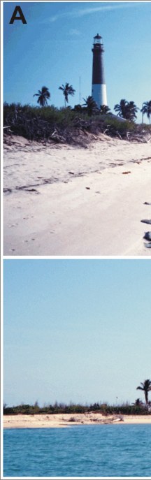
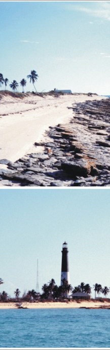
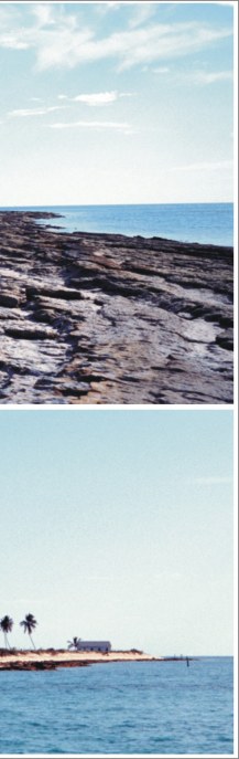
Figure 3A. Loggerhead Key; the top photo shows beachrock along the shore which helps to stabilize the shoreline (high vulnerability); the bottom photo shows Loggerhead Key and the lighthouse. The islands are low elevation and sparsely vegetated (photos by Rebecca Beavers) | ||
 |
 |
 |
