 |
Coastal Vulnerability Assessment of Dry Tortugas National Park (DRTO) to Sea-Level Rise
USGS Open-File Report 2004-1416
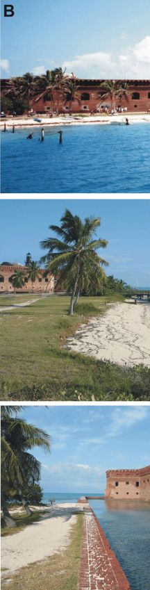
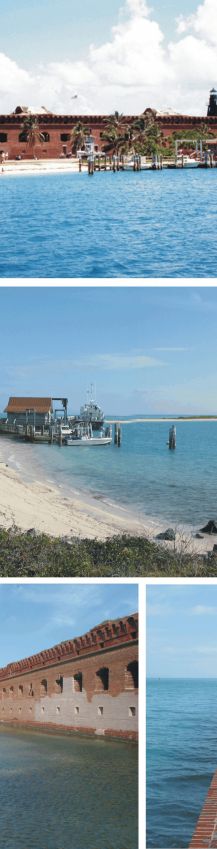
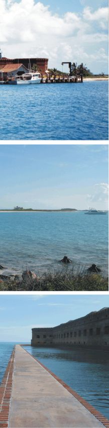
Figure 3B. Garden Key and Fort Jefferson; the top photo is a view of Fort Jefferson from the water approaching the docks (photo by Rebecca Beavers), the center photos shows the beach area near the boat docks, the bottom photos show the transition from carbonate beach (left) to moat wall (right) (very high vulnerability). | ||
 |
 |
 |
