 |
Coastal Vulnerability Assessment of Dry Tortugas National Park (DRTO) to Sea-Level Rise
USGS Open-File Report 2004-1416
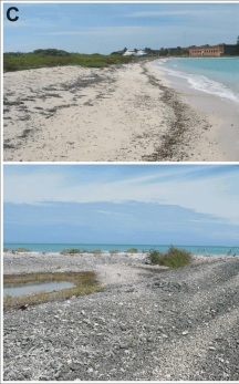
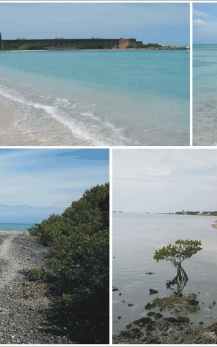
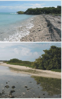
Figure 3C. Bush Key, the top photos show a view of the north side of Bush Key looking west toward Fort Jefferson (left photo) and looking east toward Long Key (right photo. The bottom photos show the center of Bush Key composed of large coral rubble (left photo) and the quieter water (lower wave energy) on the south side of Bush Key looking west toward Fort Jefferson (right photo) (very high vulnerability). | ||
 |
 |
 |
