 |
Coastal Vulnerability Assessment of Dry Tortugas National Park (DRTO) to Sea-Level Rise
USGS Open-File Report 2004-1416
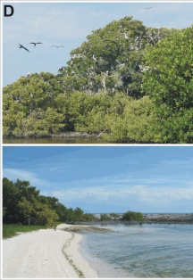
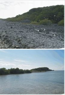
Figure 3D. Long Key; the top photos show the magnificent frigate bird rookery on Long Key (left photo) and the east side of Long Key (right photo) which experiences higher wave energy than the west side, which is largely covered in Mangroves (bottom photo) (very high vulnerability). | ||
 |
 |
 |
