Skip past header information
USGS Logo with link to USGS Web page

Coastal Vulnerability Assessment of Channel Islands National Park to Sea-Level Rise, USGS Open-File Report 2005-1057

Back to Title Page

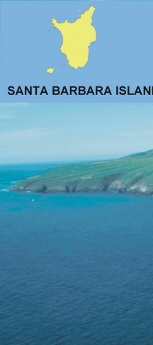
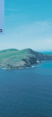
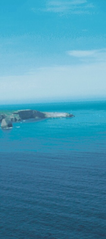
Figure 8. Photo Santa Barbara Island within Channel Islands NP. This volcanic island was classified as low (east side) to very low vulnerability (north and west sides) (NPS photo).


Figure 8. Photo Santa Barbara Island within Channel Islands NP. Figure 8. Photo Santa Barbara Island within Channel Islands NP. Figure 8. Photo Santa Barbara Island within Channel Islands NP.

Skip Footer Information [an error occurred while processing this directive]