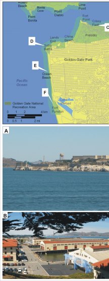
Figure 4. Geomorphologic features within the southern section of GGNRA. The figure at the top left provides an index for photos A-G.
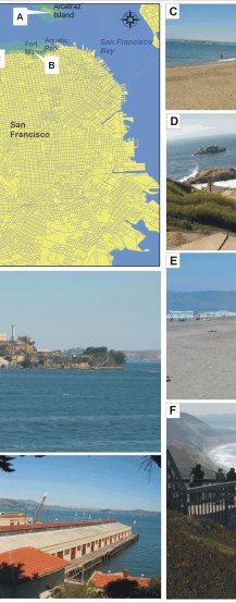
A) Alcatraz Island is classified as low vulnerability because of its relatively low rock cliffs.
B) The Fort Mason shoreline is classified as high vulnerability because it is low elevation and heavily engineered.
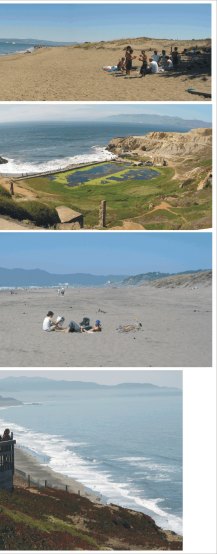
C) The beach at Crissy Field is classified as very high vulnerability.
D) The Sutro baths are high vulnerability and they are adjacent to the very low vulnerability cliffs at Lands End.
E) Ocean Beach is classified as very high vulnerability.
F) The Fort Funston shoreline is classified as moderate vulnerability because the beach is backed by unconsolidated cliffs.
|