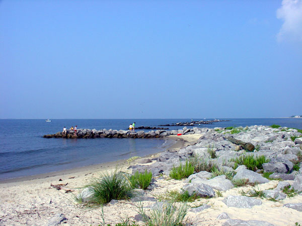
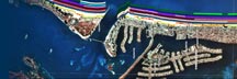
Return to: Coastal Classifications
Coastal & Marine Geology Program > Coastal Classification Mapping Project > Open File Report 2005-1151