
U.S. Geological Survey
Open-file Report 2005-1170
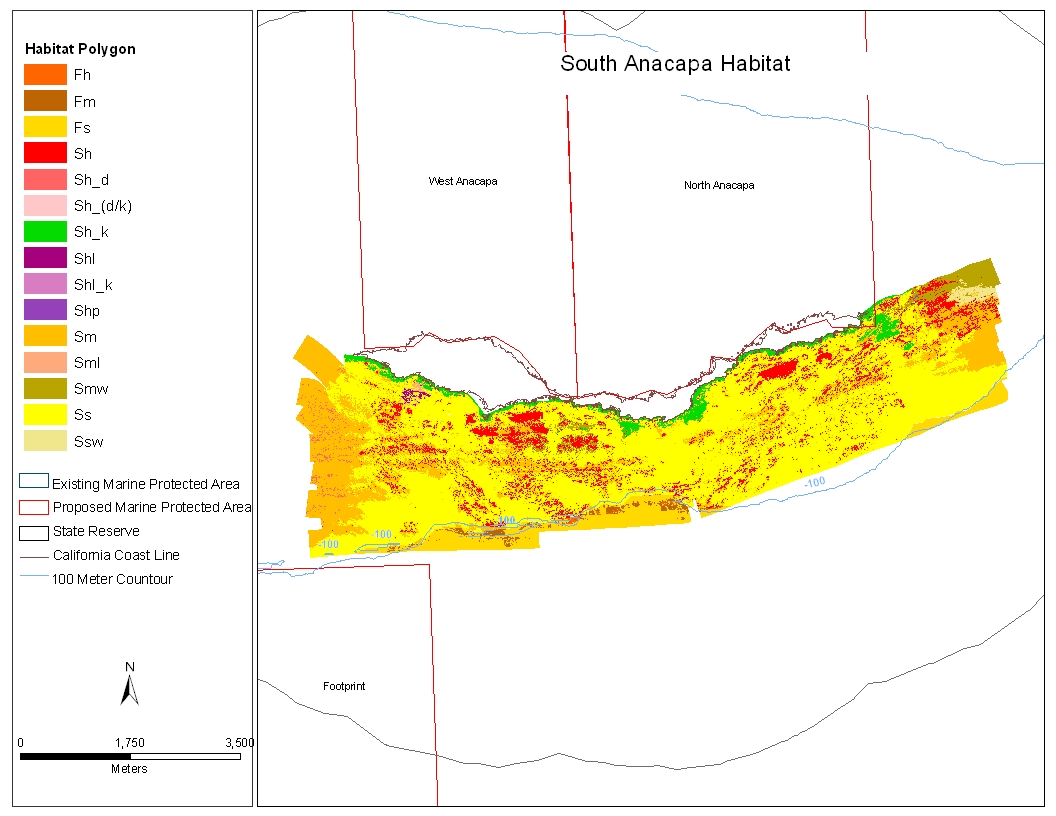
Nearshore Benthic Habitat GIS for the Channel Islands National Marine Sanctuary and Southern California State Fisheries Reserves Volume II |
 |
http://pubs.usgs.gov/of/2005/1170/images/sanahab.html
maintained by Michael Diggles
last modified 2 May 2005 (ng)
USGS Privacy Statement
| Disclaimer
| Feedback
| Accessibility
Department of the Interior U.S. Geological Survey Geologic Division Coastal & Marine Geology Program