USGS Open-File Report 2005-1231
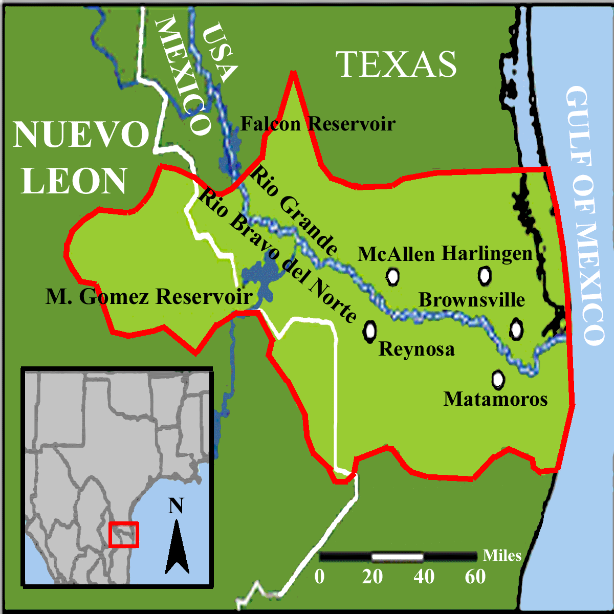
The study area is in the Rio Grande valley in southern Texas and northeastern Mexico and the inset figure shows the general location outlined in red. The index map shows the study area outlined in red and highlighted in pale green. Some of the larger population centers are shown as white ovals outlined in black.

![]() U.S. Department of the Interior |
U.S. Geological Survey
U.S. Department of the Interior |
U.S. Geological Survey
URL: http://pubsdata.usgs.gov/pubs/of/2005/1231/behindex.htm
Page Contact Information: Stephen Snyder
Page Last Modified: Saturday, 12-Jan-2013 21:27:40 EST