USGS Open-File Report 2005-1231
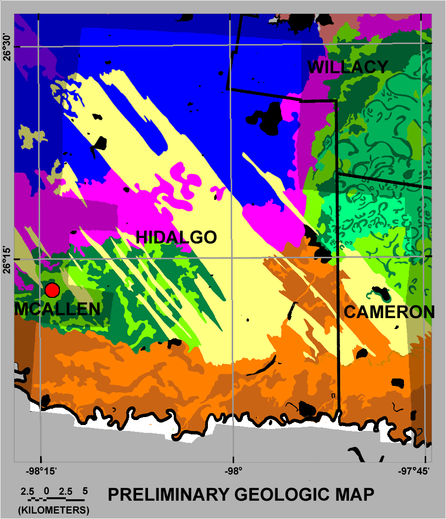
The image below shows a preliminary geologic map taken from the map by Page, VanSistine, and Turner (2005). Click here to open a separate window with the legend for the map or click anywhere on the map for a popup of the legend. If you open the legend in a separate window, you can view the unit descriptions by clicking on the unit in the legend. If you open a popup of the legend by clicking on the map, click outside of the map to close it. The area of brighter colors corresponds to the aerial survey.
